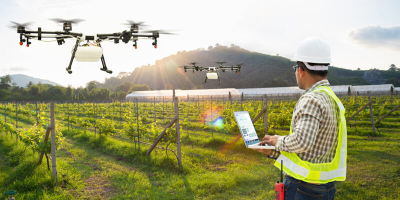
Harnessing Satellite Technology: In recent times, the convergence of Global Positioning System (GPS) and Global Information System (GIS) technologies has ushered in a new era of progress, particularly within the real-time of agriculture. The real-time data collection and precise location information has paved the way for swift processing and analysis of extensive geospatial data. One of the most transformative aspects is the democratization of these technologies, extending accessibility to anyone wielding a smart phone equipped with a GPS chip. This evolution has not only expedited precision farming practices but has also revolutionized the landscape of agricultural management.
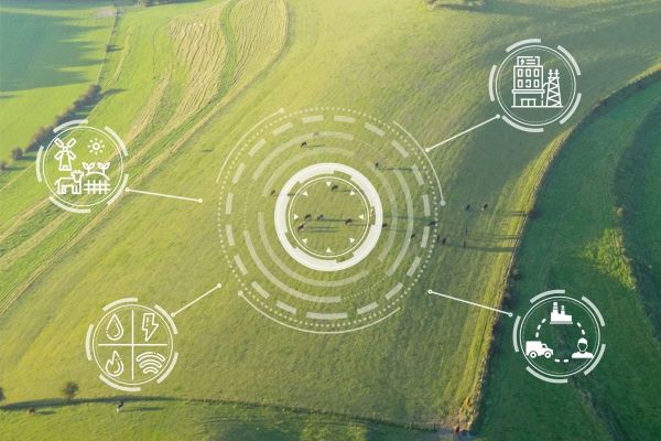
Harnessing Satellite
The influence of GPS on agriculture has been profound, enabling a spectrum of precision farming activities that were once distant dreams. From strategic farm planning and detailed field mapping to soil sampling, crop scouting, and yield mapping, GPS has woven itself into the fabric of agricultural decision-making. The agility it offers is evident as farmers navigate through challenging environments like rain, dust, fog, and even darkness, conducting their operations seamlessly. Pest, weed, and insect management have also witnessed a transformative shift as monitoring and intervention become streamlined through the integration of GPS technology.
Also Read: Weed Control in Agricultural Crops: Weed management in major Agricultural crops
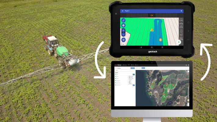
Harnessing Satellite Technology
The transformation brought about by GPS in agriculture isn’t confined to high-tech equipment manufacturers alone. A plethora of tools has emerged to bolster the productivity and efficiency of farmers and agribusinesses engaged in precision farming. These tools leverage the power of GPS-derived data to create a more insightful agricultural landscape. Farm boundaries, irrigation systems, roadways, and even potential trouble spots like disease-infested crops are meticulously mapped through GPS receivers. Armed with this information, farmers craft field maps with precision, delineating acres, road layouts, and distances between crucial points. This iterative process year after year empowers farmers to pinpoint specific locations within fields for tasks such as soil sampling and crop monitoring, rendering precision and efficiency central to contemporary agricultural practices.
In essence, the fusion of GPS and GIS technologies has irreversibly altered the agricultural landscape. By placing the capabilities of these technologies into the hands of farmers through smartphones and facilitating precision farming practices, it has ushered in an era of efficiency, sustainability, and informed decision-making in agriculture. The transformation is palpable, from field to map to data analysis, as the seamless integration of geospatial information enriches every facet of modern farming.
Also Read: Thrips Parvispinus: Management of New emerging Thrips species of Chilli

